Fifteen years ago, I created Mont Sutton’s interactive trail map—a 3D-rendered, animated experience that allowed users to explore the mountain with smooth camera navigation. Though the interactive version is no longer online, the illustrated map remains available as a downloadable PDF on their official site.
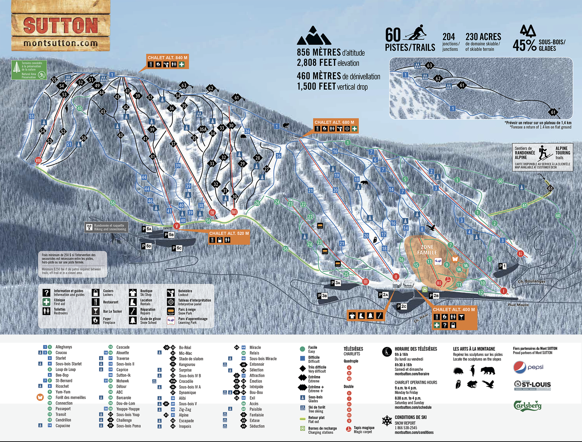
Image courtesy of Mont Sutton – from the official website.
The project included:
– 3D modeling of the mountain’s terrain using topographical data
– Visual composition of ski trails, trees, lodges, and infrastructure (parking lots, service buildings)
– Animated camera navigation allowing smooth and precise exploration (not a static image zoom)
– Web integration of the interactive interface.